What Is a Grid Zone Designator?
The grid zone designator is the coarse address that comes before the lettered square and the digits. In 18S UJ 2348 0647, the 18S is the designator. It narrows the planet to one slice of the UTM grid so the two letters and the numbers that follow have a frame to sit in.
What does the number in a grid zone mean?
The number is the UTM longitude zone, from 1 to 60. Each zone spans 6 degrees of longitude. Zone 1 starts at 180 degrees west, the antimeridian, and the numbers count eastward around the globe. Most of the continental United States falls in zones 10 through 19. The number alone narrows you to one north-south strip of the Earth.
Universal Transverse Mercator divides the world into 60 of these strips so that each can be projected with minimal distortion. The zone number tells map software which projection parameters to use. Near a zone boundary, coordinates from adjacent zones use different origins, which is one reason MGRS bundles the zone into the designator rather than leaving it implied.
What does the letter in a grid zone mean?
The letter is a latitude band. The bands run from C near 80 degrees south to X near 84 degrees north, each covering 8 degrees of latitude, except X which covers 12. The letters I and O are skipped to avoid confusion with 1 and 0. Pairing the band letter with the zone number boxes you into one cell of the global grid.
The bands deliberately omit A, B, Y, and Z, which are reserved for the polar UPS system outside UTM's coverage. So a designator like 18S means UTM zone 18, latitude band S, a cell over the mid-Atlantic United States. The letter resolves the north-south ambiguity that the zone number alone leaves open.
Why do you need the designator at all?
Without the grid zone designator, a 100,000 meter square label repeats in many places around the world, so the same two letters and digits could point to several continents. The designator makes the coordinate globally unique. Over short distances within one zone, crews sometimes drop it for brevity, but any cross-zone or long-range work requires the full designator.
Teams operating inside a single area often agree to assume the designator and pass only the square and digits, which saves time on the radio. That shortcut breaks the moment an operation spans a zone boundary or someone references an external point. Including the designator removes all doubt, which is why standards and apps keep it in the full string.
What happens near a zone boundary?
UTM zones meet along lines of longitude every 6 degrees, and the grid does not run continuously across them. Eastings reset at each boundary, so a point just west of a line and a point just east can share digits while sitting in different zones. The designator keeps them apart. Software handles the discontinuity that trips up manual plotting.
A few special zones near Norway and Svalbard are widened to keep coastal areas in a single grid, an exception worth knowing if you operate at high latitudes. Elsewhere the rule is simple: respect the designator and let your app manage cross-zone math, because eastings that look close can belong to entirely different strips of the world.
Key takeaways
- The grid zone designator, like 18S, leads every full MGRS coordinate.
- The number is the UTM zone, 1 to 60, each 6 degrees of longitude.
- The letter is a latitude band, C through X, mostly 8 degrees tall.
- The designator makes a coordinate globally unique by naming the cell.
- Near zone boundaries, eastings reset; let software handle the cross-zone math.
Frequently asked questions
- What does the S in 18S stand for?
- The S is a latitude band letter, not a hemisphere. In MGRS the bands run from C in the far south to X in the far north, each covering 8 degrees of latitude. Band S sits in the mid-northern latitudes, over much of the central and eastern United States. It is not an abbreviation for south.
- How many grid zones are there?
- UTM defines 60 longitude zones, numbered 1 to 60, each 6 degrees wide. Crossed with about 20 latitude bands from C to X, the world divides into roughly 1,200 grid zone cells, ignoring the polar regions. The letters I and O are skipped to avoid confusion with the digits 1 and 0.
- Can I drop the designator when calling a grid?
- Within a single zone and by prior agreement, teams sometimes pass only the square and digits to save time. That shortcut fails across zone boundaries or when referencing outside points, because the same square and digits repeat elsewhere. For any long-range or cross-zone work, always include the full grid zone designator to stay unambiguous.
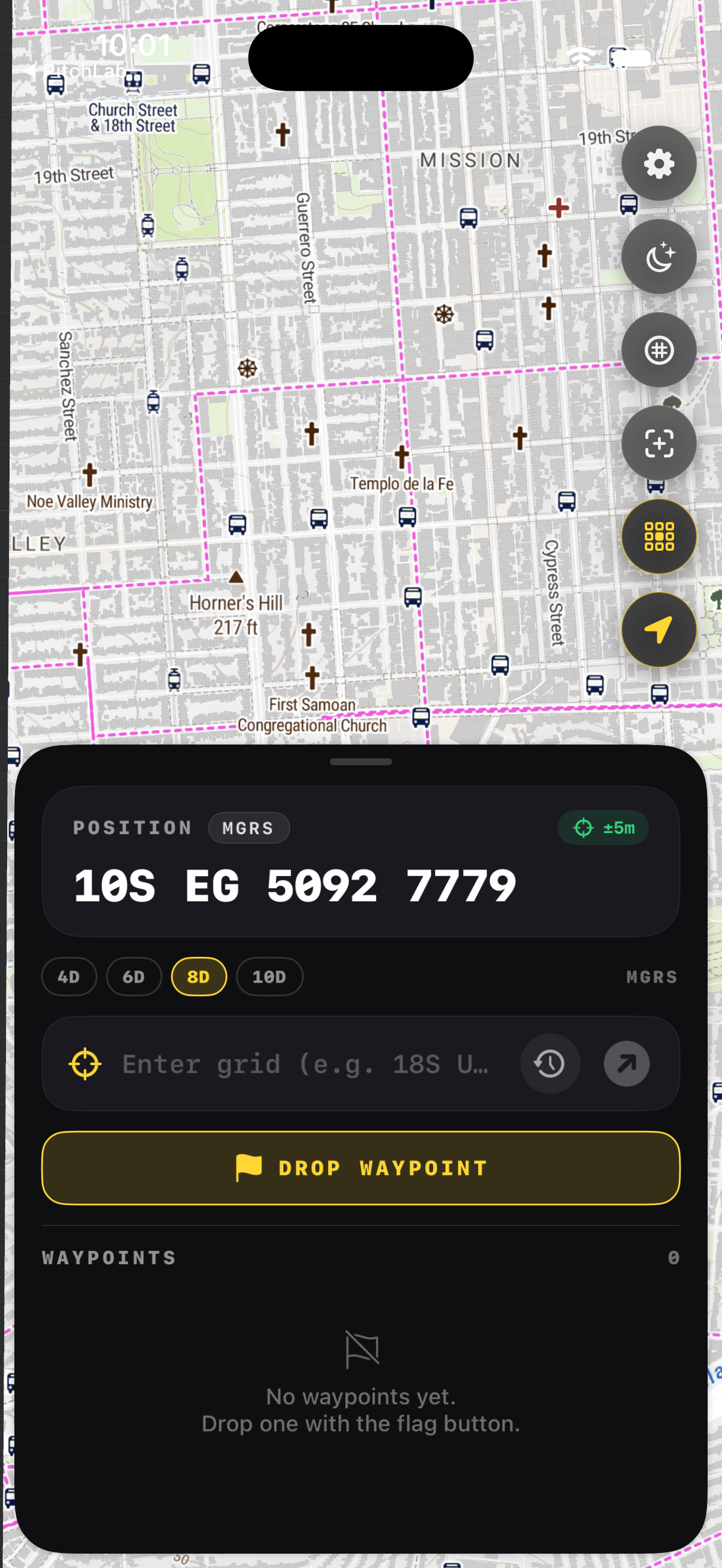
- Does GridNav show my grid zone?
- Yes. GridNav displays your complete MGRS string, beginning with the grid zone designator, and updates it live as you move. When you cross a zone boundary the designator changes automatically, so you never have to track which strip of the world you are in or worry about an easting that reset at the line.
Land Navigation & MGRS, BigBalli. We turn military grid standards into fast, one-handed iPhone workflows, cross-checked against sources including the NGA and USGS.
GridNav provides navigation tools and educational information. Always carry a map and compass as backup, confirm critical grids with a second source, and follow the procedures of your unit, agency, or incident command.