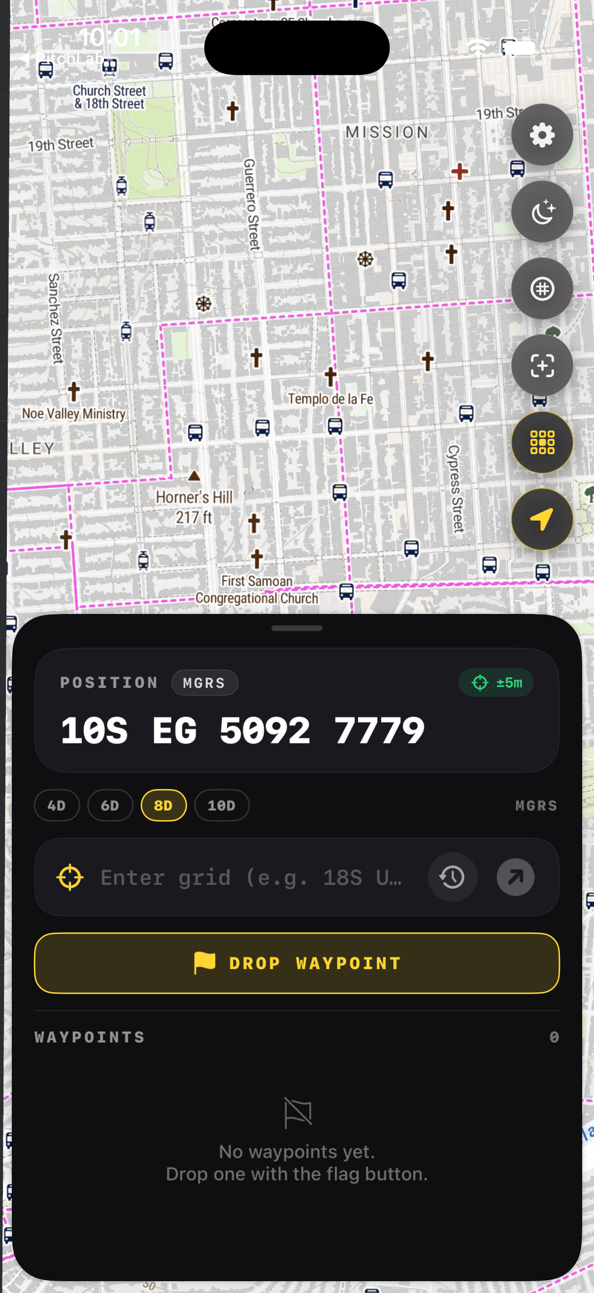
How Do You Read an MGRS Coordinate?
An MGRS string looks dense until you learn where to cut it. Take 18S UJ 23480 06470. The 18S is the grid zone, UJ is the 100km square inside it, and the long block of numbers is two coordinates packed together. Halve the digits, and you have an easting and a northing that pin a point on the ground.
What are the parts of an MGRS coordinate?
Every MGRS coordinate has three parts in fixed order: the grid zone designator like 18S, the 100,000 meter square identifier like UJ, and the numerical location split evenly into easting then northing. Read it left to right, coarse to fine. The same rules apply whether you write four digits or ten.
The grid zone designator combines a UTM longitude zone number with a latitude band letter. The two letters that follow name a 100km square inside that zone. The digits locate your point within that square. Because easting and northing always use the same digit count, you can always find the midpoint and split cleanly.
How do you split the digits into easting and northing?
Count the digits after the two letters and divide by two. The first half is easting, measured east from the left edge of the square. The second half is northing, measured north from the bottom edge. In 2348 0647, easting is 2348 and northing is 0647. Easting always comes first, the same as reading right then up.
Field manuals teach the phrase "right and up" for this reason. You move right along the easting, then up along the northing, the same way you read a graph. A six-digit grid like 234 064 lands you within 100 meters. An eight-digit grid tightens that to 10 meters, and ten digits to a single meter.
What precision does each digit count give you?
MGRS precision scales with digit pairs. Four digits total locate a 1,000 meter box, six digits a 100 meter box, eight digits a 10 meter box, and ten digits a 1 meter box. Search and rescue and fire crews usually pass six or eight digit grids, since that matches the accuracy of a handheld GPS in real terrain.
| Digits | Precision | Typical use |
|---|---|---|
| 4 (2+2) | 1,000 m | Rough area |
| 6 (3+3) | 100 m | Patrol, land nav |
| 8 (4+4) | 10 m | SAR, fire ops |
| 10 (5+5) | 1 m | Survey precision |
Why does the order matter so much?
Reversing easting and northing puts you in the wrong place, sometimes kilometers off. The fix is a habit: always read and call the grid zone, then the square, then easting, then northing, in that order. When you receive a grid, repeat it back. A swapped pair is the most common MGRS mistake in the field.
The National Geospatial-Intelligence Agency defines this ordering in its MGRS standard, and every NATO map follows it. The discipline pays off when you are tired, cold, or moving. Say the whole string out loud, confirm the readback, and let the app plot it so a transposed digit shows up as an obviously wrong distance.
Key takeaways
- Read MGRS coarse to fine: grid zone, 100km square, then digits.
- Split the digits in the middle; easting first, northing second.
- "Right and up" is the order, the same as reading a graph.
- More digit pairs mean tighter precision, from 1,000 m down to 1 m.
- Read the full string back to catch a swapped easting and northing.
Frequently asked questions
- What does 18S UJ 2348 0647 mean?
- 18S is the grid zone designator, combining UTM zone 18 with latitude band S. UJ names a 100,000 meter square inside that zone. 2348 is the easting and 0647 is the northing, each measured within that square. Together they locate a point to about 10 meters, suitable for most field navigation.
- Do you read easting or northing first?
- Easting first, then northing, always. The memory aid is "right and up." You move right along the bottom edge for the easting, then up the side for the northing, the same way you read coordinates on a graph. Calling them in the wrong order is the most frequent MGRS error people make.
- How many digits should I use?
- Six digits give 100 meter accuracy and suit general land navigation. Eight digits give 10 meters, which matches a handheld GPS and is common in search and rescue and wildland fire. Ten digits reach one meter but rarely add value outside survey work. Match the digit count to the job, not the maximum.
- Can an app read MGRS for me?
- Yes. GridNav shows your current position as a full MGRS string at the precision you pick, and it plots any grid you paste in. That removes the manual splitting and the risk of a transposed pair, while still teaching you the structure as you watch the digits change with your movement.
Land Navigation & MGRS, BigBalli. We turn military grid standards into fast, one-handed iPhone workflows, cross-checked against sources including the NGA and USGS.
GridNav provides navigation tools and educational information. Always carry a map and compass as backup, confirm critical grids with a second source, and follow the procedures of your unit, agency, or incident command.