How Do You Plot a Grid Coordinate on a Map?
Plotting turns a string of numbers into a dot on paper. You locate the square the grid falls in, then divide that square with a romer or protractor to place the point precisely inside it. The same right-and-up order you use to read a grid governs how you plot it.
What tools do you need to plot a grid?
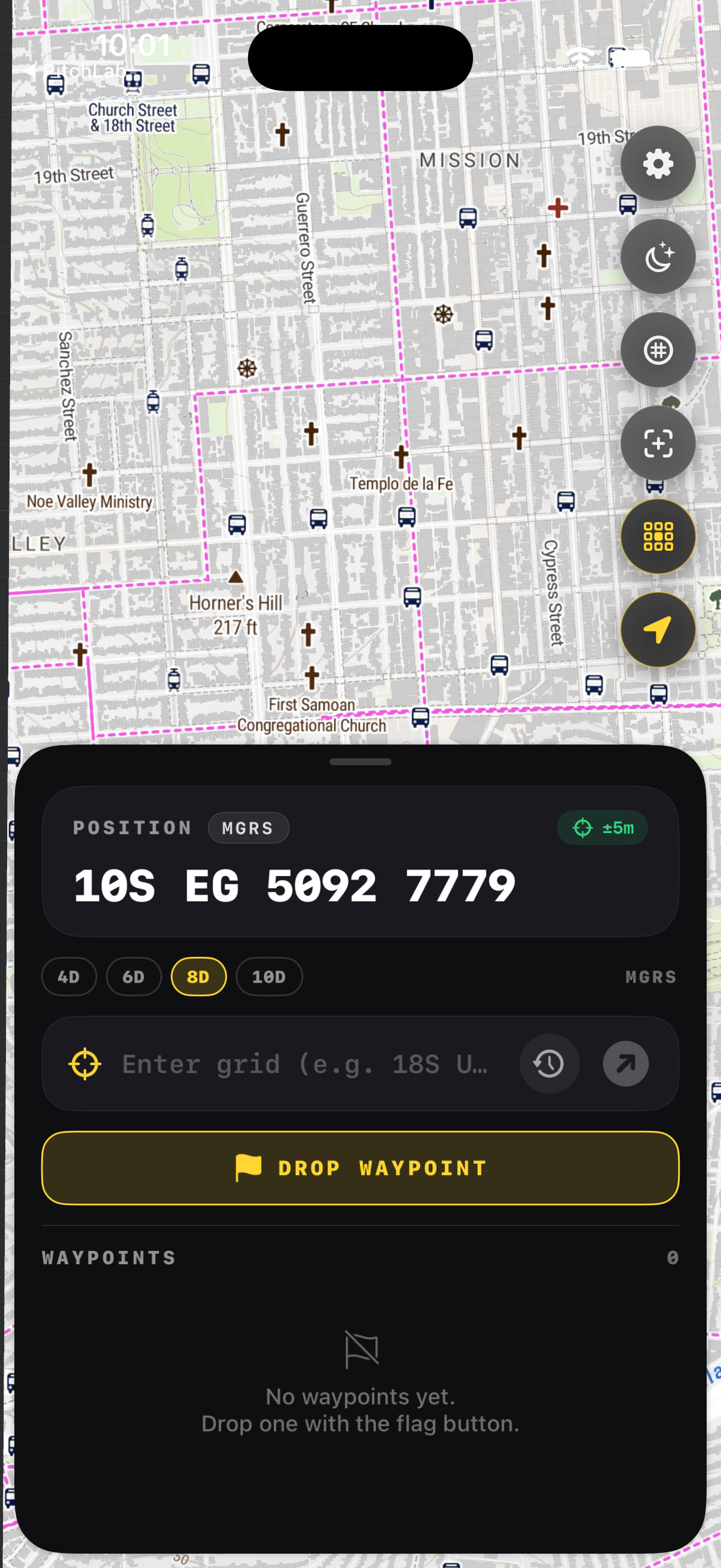
You need a map with a printed grid, a grid protractor or romer scaled to the map, and a sharp pencil. The romer has tick marks matching the map scale, usually 1:25,000 or 1:50,000. Align the romer to the grid lines, read the easting tenths, then the northing tenths. A phone app does the same job without paper.
A military-style protractor combines a romer corner with a degree circle for bearings. Match the romer scale to your map scale or your distances will be wrong. If you carry GridNav, the app plots the point for you and shows distance and bearing, which is faster and removes the alignment errors that paper plotting invites.
How do you find the right 1,000 meter square?
Read the two-digit easting and two-digit northing of the grid to find the square's lower-left corner. The grid lines on the map are numbered; match the easting to a vertical line and the northing to a horizontal line. The square sits up and to the right of where those two numbered lines cross. That intersection anchors everything that follows.
Map margins print the full grid line values so you can confirm the right block. Find the vertical line whose number matches your easting's first two digits, then the horizontal line for your northing's first two. Their crossing is the southwest corner of your square. Everything else is refinement inside that 1km box.
How do you place the point inside the square?
Lay the romer in the square's lower-left corner with its scales running right and up. Slide it right until the easting tenths line up with the vertical grid line, then read up the northing tenths to find the exact spot. Mark it. For a six-digit grid each tenth is 100 meters; for eight digits you interpolate to 10 meters.
Keep the romer square to the grid lines or your reading skews. The third digit of the easting is hundreds of meters, the third of the northing the same. With an eight-digit grid you estimate the fourth digit by eye between the tens marks. This is where paper plotting gets slow and an app earns its place.
How do you check that your plot is right?
Cross-check the plotted point against terrain. Does it sit on the ridge, drainage, or road the grid should describe? Compare the distance and bearing from your position to the plot against what the ground tells you. If the point lands in open water when it should be a hilltop, suspect a transposed easting and northing and replot.
A second check is to re-read the grid off your plotted point and confirm it matches the original string. Plotting and reading are inverses, so a clean round trip means the mark is good. Apps do this automatically, since the same coordinate drives both the marker and the readout, leaving no room for an alignment slip.
Key takeaways
- Plotting is reading in reverse: locate the square, then refine inside it.
- Use a romer scaled to your map and keep it square to the grid lines.
- The square's southwest corner is where the numbered grid lines cross.
- Step right along the easting, then up along the northing, then mark.
- Cross-check the plot against terrain to catch a transposed pair.
Frequently asked questions
- What is a romer used for?
- A romer is a small scale, often on the corner of a grid protractor, that subdivides a 1,000 meter map square into tenths. You align it to the grid lines and read the easting and northing fractions to place a point precisely. The romer must match your map scale, since a 1:25,000 romer misreads a 1:50,000 map.
- Which way do you measure first?
- Right first, then up. Measure the easting along the bottom of the square moving right, then the northing up the side. This matches how you read the grid string, where easting comes before northing. Keeping the same order for reading and plotting prevents the transposition that sends a point to the wrong place.
- Can I plot a grid without a protractor?
- Yes. An app like GridNav plots any grid the moment you paste it, marking the point on the map and showing distance and bearing from your position. That removes the romer, the alignment, and the interpolation by eye. It also works in the dark or in gloves, where paper plotting becomes slow and error-prone.
- How accurate is hand plotting?
- With care, a romer on a 1:50,000 map gets you within about 50 to 100 meters, limited by line width and eyesight. Eight-digit precision on paper is optimistic in field conditions. Digital plotting holds the full precision of the grid, which is why crews increasingly carry both a paper map for backup and an app for speed.
Land Navigation & MGRS, BigBalli. We turn military grid standards into fast, one-handed iPhone workflows, cross-checked against sources including the NGA and USGS.
GridNav provides navigation tools and educational information. Always carry a map and compass as backup, confirm critical grids with a second source, and follow the procedures of your unit, agency, or incident command.