What Makes a Good MGRS App for Search and Rescue?
Search and rescue lives or dies on shared location. A searcher who finds a clue needs to pass a grid that the command post can plot instantly and that the next team can navigate to. An MGRS app that reads, plots, and stores grids offline removes the friction in that loop, where every minute matters.
Why does SAR use MGRS?
SAR teams use MGRS because it is fast to communicate and standard across agencies. A grid is shorter to call than lat/long, harder to garble over a weak radio, and plots cleanly on the topographic maps incident command already uses. When mutual-aid teams from different agencies converge, a shared grid system lets everyone read the same map without translation.
Mission coordinators assign search segments by grid, and field teams report position and clues by grid. The brevity matters when a searcher is exhausted and a radio is breaking up. An eight-digit MGRS grid fits a 10 meter box, tight enough to relocate a clue or a subject, and it keeps the whole team on one coordinate language.
What features matter most for search and rescue?
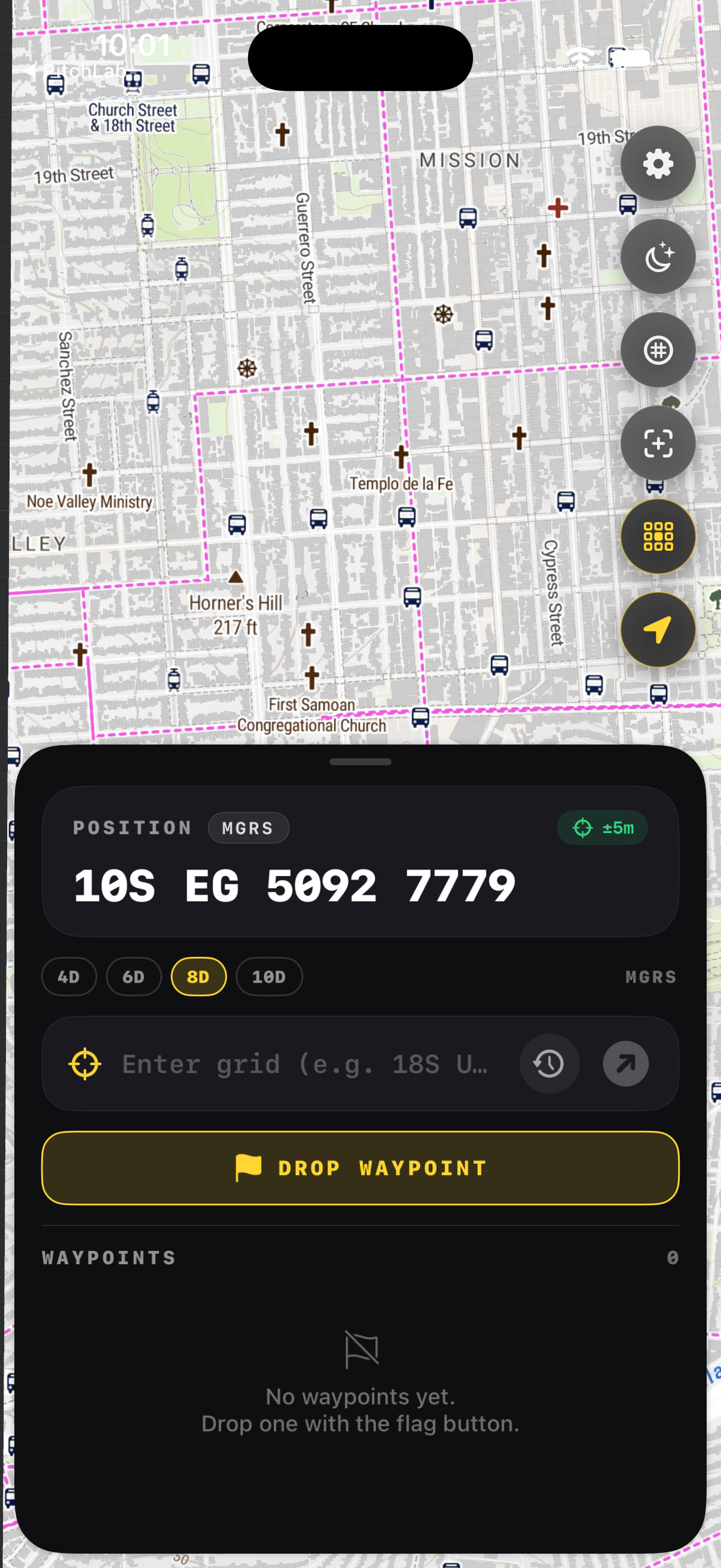
Four features carry the load: a large glanceable MGRS readout, instant plotting of a grid called over the radio, full offline maps for areas with no coverage, and waypoints to mark clues, hazards, and the subject. Add a red night mode for after-dark searches and one-tap copy so a grid moves cleanly into a text or a log.
Speed under stress is the real requirement. A searcher holding a radio in one hand needs the grid without menus. GridNav keeps the readout always visible, plots a pasted grid in under a second, and stores waypoints that survive going offline. Those are the moments a clue gets logged correctly instead of lost to a fumbled coordinate.
How does an app fit into incident command?
The app is a tool inside the Incident Command System, not a replacement for it. Field teams still report to a coordinator, follow assigned segments, and use disciplined radio procedure. The app makes their grids fast and accurate, but the search plan, the communications, and the safety calls come from command. Technology accelerates the workflow; people run the mission.
Good practice keeps the app and the paper map in agreement. Coordinators plot reported grids on a master map; searchers carry the app for speed and the map for backup. When a grid comes in, command confirms it against terrain before tasking the next move. The discipline that catches a transposed digit is human, supported by the tool.
What should every searcher still carry?
A phone with the app, plus a charged backup battery, a paper topographic map, a compass, and the radio. Electronics fail in cold, wet, and rough conditions, so redundancy is mandatory. Every searcher should be able to plot a grid and walk a bearing by hand. The app speeds the common case; the map and compass cover the failure case.
SAR organizations train this redundancy deliberately. The phone earns its place by being faster, but it never becomes the only way to know where you are. Keep the device warm and powered, the map dry, and the manual skills sharp. A team that can navigate without the app is a team the app makes faster, not dependent.
Key takeaways
- SAR runs on MGRS because grids are fast, standard, and hard to garble.
- Eight-digit MGRS gives 10 meter accuracy, tight enough for clues and subjects.
- The key features are a glanceable readout, instant plotting, offline maps, and waypoints.
- The app supports incident command and radio discipline; it does not replace them.
- Every searcher still carries a paper map, compass, radio, and spare power.
Frequently asked questions
- What MGRS precision does SAR use?
- Most teams pass eight-digit MGRS, which fits a 10 meter box and matches handheld GPS accuracy. Six digits, a 100 meter box, may suit assigning a broad segment, while eight digits relocates a specific clue or subject. Ten digits rarely adds value in the field. Agree on a standard precision before the search so every report lines up.
- Does the app replace the command post?
- No. The app speeds individual searchers and small teams, but the Incident Command System, the search plan, and radio discipline still run the mission. Coordinators assign segments, track reports on a master map, and make safety calls. The app accelerates the grid workflow inside that structure; it does not take over the coordination that keeps a search organized and safe.
- Will it work where there is no cell coverage?
- Yes, if you download the search area before deploying. GPS positions come from satellites, so they work offline, and a cached map keeps the imagery on screen. GridNav stores regions, the grid overlay, and waypoints on the device, so the full workflow runs in the backcountry where SAR missions usually happen, far from any tower.
- Can searchers share waypoints?
- Each searcher marks waypoints for clues, hazards, and the subject, then relays the grids to command by radio so coordinators can plot them on the master map. The one-tap copy makes a grid easy to read aloud or paste into a log. The shared picture is built at the command post from accurate grids each team reports.
Land Navigation & MGRS, BigBalli. We turn military grid standards into fast, one-handed iPhone workflows, cross-checked against sources including the National Park Service and GPS.gov.
GridNav provides navigation tools and educational information. Always carry a map and compass as backup, confirm critical grids with a second source, and follow the procedures of your unit, agency, or incident command.